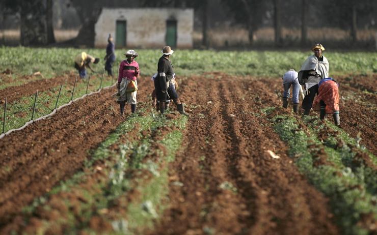
Land or building ownership is a relevant and complicated, but vastly under-organized issue in many countries. Several land registry offices are looking into easily and unique identifying parcels of land by their central mapcode whilst others (South Africa, India, USA) have implemented mapcode down to a 1m2 accuracy for urban planning and asset management.
Archeological finds
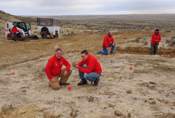
Archeological and botanical finds are (of course) registered very precisely. Many errors are made, however, both in writing down and in copying the unwieldy latitudes and longitudes. Mapcodes are now used to put a human face on coordinates by the Naturalis Biodiversity Center.
Addresses for remote locations
In countries without an effective addressing system, utility services can not readily come to aid of households or businesses when they are faced with power cuts or water leakages. In Kenya, Uganda and Nigeria, electricity and water meters bear mapcodes which aren’t just their unique identifier, but acts as the address of that particular house or business.
National postcode alternatives
Many countries are currently considering mapcodes as a candidate for their national postcode. Most countries today only have “zone” codes, where thousands of dwellings share the same code. South Africa was the first to introduce mapcodes to officially support informal dwellings (such as slum dwellings).
Emergency services support
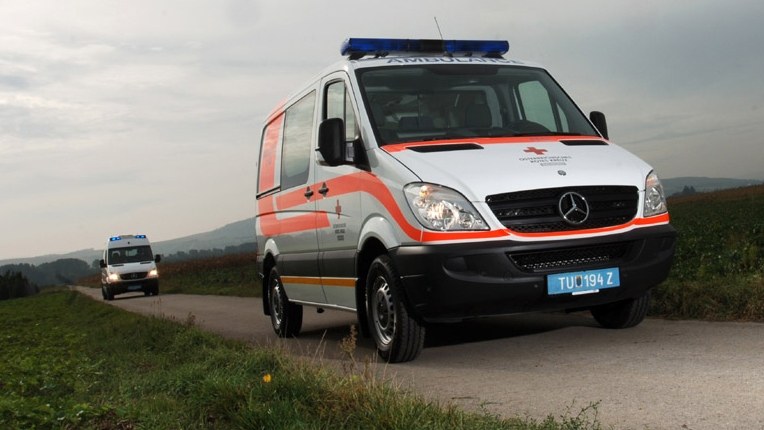
Emergency services need to quickly reach the strangest places. Not only will a Mapcode get an ambulance to within meters of its target, no matter where, but the short mapcodes can also be communicated clearly even over bad connections (Eastern Cape, South Africa).


